ABOUT Chira Island
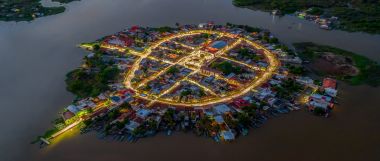
Chira Island is a 3,000-hectare (7,400-acre) Costa Rican Pacific island located at the upper end of the Gulf of Nicoya, an extensive inlet of seawater that is the result of a geological fault that has caused the land to submerge, leaving exposed only the tops of what were formerly low hills. These are the various islands that dot the Gulf, the largest of which being the Island of Chira - Costa Rica's second largest island. The Gulf of Nicoya separates Guanacaste from mainland Costa Rica and is fed by the Tempisque River. Chira Island lies just off San Pablo, Guanacaste. The island is also a district in Puntarenas Canton, Costa Rica.Ecologically, Chira contains the most intact biodiversity of tropical dry forest flora in Costa Rica, if not Central America.
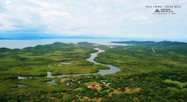
Six villages make up the bulk of the population of Chira Island, located along the Northern edge of the island, from the West end to the East End. The eastern end of the island is dominated by mangrove swamps.
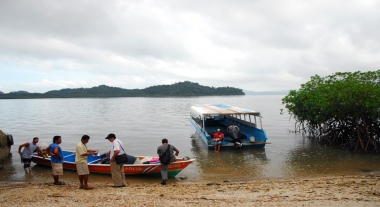
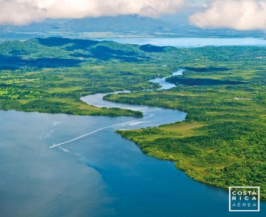
Approximately 3,000 people live on the island and the main economic activity is fishing, farming or work on the salt pans. These salt pans are popular with roseate spoonbills and other wading birds. Isla Chira is bisected by a large estuary to the east leading into a canal through vast mangrove swamps. There is only a little accommodation on the island. From Puntarenas a daily boat goes to Isla Chira from the fish market. Hire-boats might be available in Pájaros or San Pablo.
Due to the reliance on marine resources and alternative industries being limited in number, significant pressure has been put on the island's natural resources. Due to this, a project has been developed to establish a bank of mollusks (Anadara tuberculosa and Anadara similis), a kind of oyster for artisan fishing, in order to create a commercially viable resource for long-term economic development. Additionally, attempts have been made to encourage various activities related with tourism, primarily using the Island's natural and geographical resources, such as the mangrove swamps and the Tempisque River, as well as the local culture.
Each year in June and July, there is a national bike race, as well as a running race, for those that want to explore the natural and unexplored beauty of the island.


